Map View
See Your Life on a Map
Every geotagged photo gets a pin. Zoom into cities, click through clusters, and relive your travels from a bird's-eye view.
Try It Free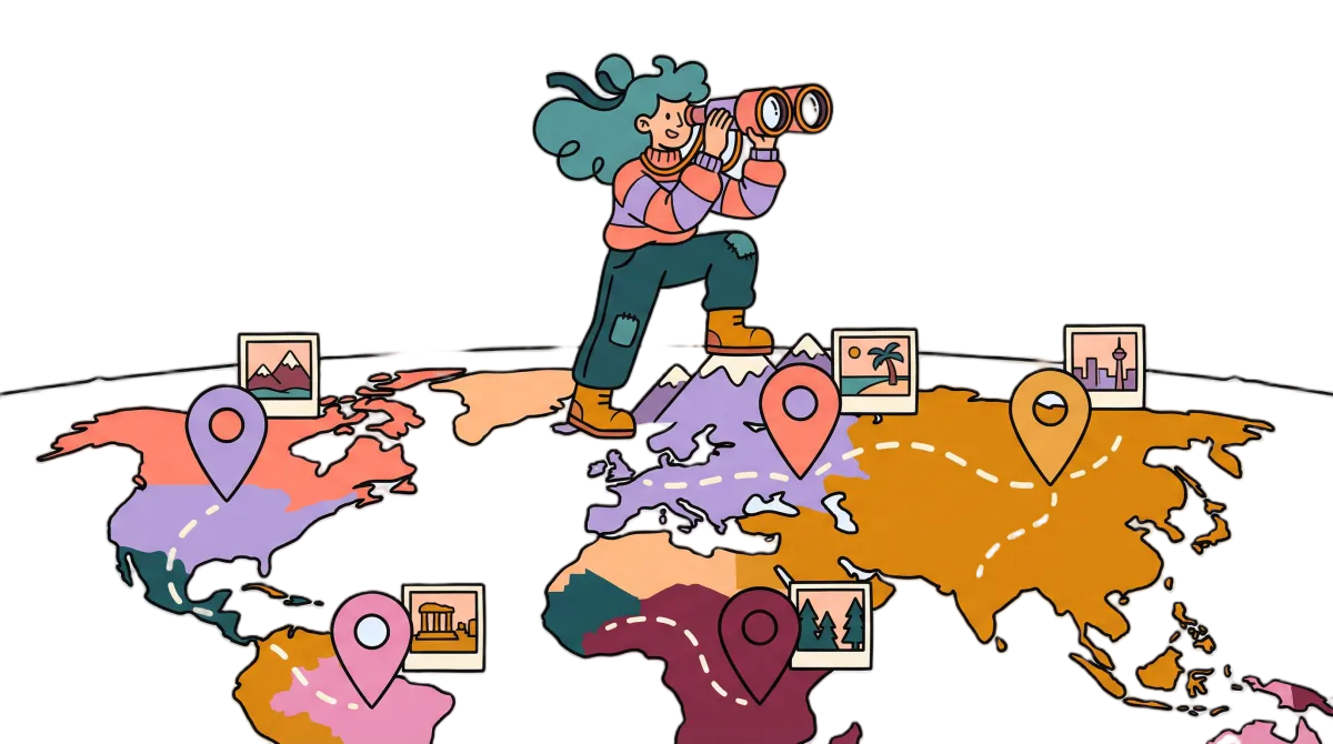
Interactive map preview
How it works
Your Photos, Geographically
Automatic GPS Detection
Photos with location data appear on the map instantly. No setup needed.
Smart Clustering
Nearby photos group into clusters. Zoom in to explore each location.
Click to View
Click any pin to see all photos from that location in a beautiful gallery.
Zoom by Region
See your entire world, or zoom into a single neighborhood.
Fix your data
Photos in the Wrong Place?
Some photos have wrong GPS coordinates — indoor shots, timezone confusion, or missing data entirely. Fix them with the Metadata Editor, then watch them appear on the map in the right spot.
Fix Your MetadataUse cases
A Decade of Adventures, One Map
Travel Photography
10 years of trips across 30 countries — every photo, one map.
Family Events
Weddings, birthdays, holidays — see where your memories happened.
Road Trips
Trace your journey from start to finish through your photos.
FAQ
Frequently Asked Questions
Related feature
Edit your photo metadata before mappingFix wrong locations and dates, then see every correction appear on the map.